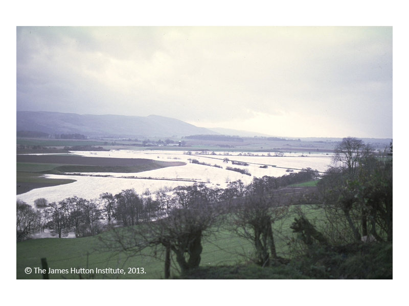
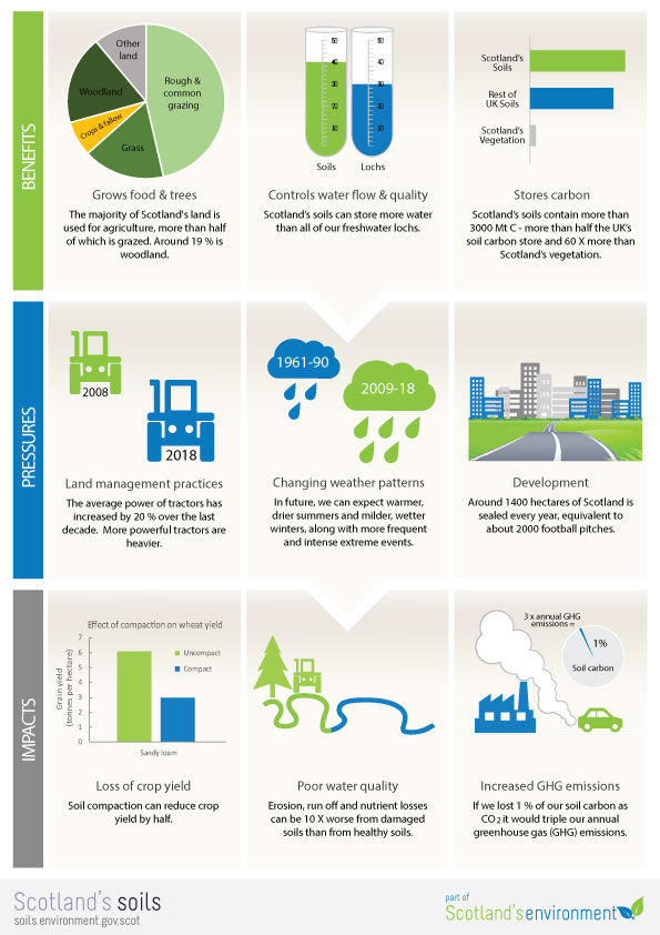
Scotland’s soils are an important natural resource. They play an essential part in all our lives, providing us with a wide range of benefits. Some of these benefits are obvious, like growing food, while many are less clear, like filtering water, reducing flood risk and influencing climate.
Key messages
Scotland has a wide variety of soil types. This is because our soils are created from a range of rocks and sediments by number of processes controlled by the climate and where the soil sits in the landscape.
Healthy soils provide a wide range of benefits. Some of these benefits are obvious, like growing food, while many are less clear, like filtering water, reducing flood risk and influencing climate.
However, our soils can be damaged by a number of processes including erosion, compaction and loss of organic matter. Degraded soils can be a problem, not just for the soil itself, but also for people and the wider environment. For example, soil erosion can cause pollution in rivers.
We need to protect our soils so that they can continue to provide the benefits we need, now and in future.
Land Infographic (PDF)
Scotland’s soils website

This website provides data and information on Scotland’s soils. It highlights the importance of soils, what they do for us, how well they do it and what happens when they are damaged:
- You can look at a range of maps and download the data associated with these maps.
- You can find links to other useful sources of data and information.
- The website is part of the wider Scotland’s environment network and was created in partnership by a number of organisations.
Maps and data
A range of soil maps are available on Scotland’s soils website, as well as point data relating to specific locations where soils have been sampled and analysed for a range of properties. There are also links to where you can download the data.
 |
Soil maps show the distribution of soils across the land. Soil maps were originally produced by field surveyors who walked over the landscape, looking at the soils and other features such as vegetation, and drew boundaries between different soil types. Mapping methods have evolved over time, and now use techniques such as aerial photography and satellite-based Global Positioning Systems (GPS).
National soil map of Scotland
Soil map of Scotland (partial cover)
World Reference Base soil map
|
 |
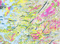
Capability maps classify land based on the potential for what it could grow and how well it could grow it. The maps are generated using information about soils, climate and landscape. Capability maps are available for both agriculture and forestry.
National scale land capability for forestry
National scale land capability
Land capability for agriculture (partial cover)
|
 |
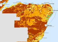
Thematic maps show the distribution of a specific soil property such as soil organic carbon content.
Topsoil organic carbon concentration
Available water capacity
Soil texture in nitrate vulnerable zones
Carbon and peatland 2016
Map of soil phosphorus sorption capacity
|
 |
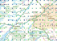
Risk maps show the vulnerability of soils to erosion, runoff, leaching and both topsoil and subsoil compaction, based on the inherent properties of the soil and the landscape.
Map of subsoil compaction risk (partial cover)
Map of topsoil compaction risk (partial cover)
Map of soil erosion risk (partial cover)
Map of soil leaching potential (partial cover)
Map of runoff risk (partial cover)
|
 |
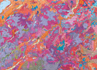
Point data are data that relate to soils at a specific location. At these points, soils have been described, sampled and later analysed for a range of properties. The point data maps show where the soils were sampled and selected properties of interest.
National Soils Inventory of Scotland (NSIS 1978 – 88)
Parent material
Topsoil lead (Pb) concentration
Topsoil zinc (Zn) concentration
Peatland Action peat depth
|
 |
Also available
Soil Survey of Scotland 1:250 000 scanned maps (1980s) Scanned copies of the original seven 1:250 000 Soil Survey of Scotland maps were made available to celebrate World Soils Day (5 December 2014) at the start of the International Year of Soils, 2015.
Soil Survey of Scotland 1:63 360 scanned maps (1950s-80s) Scanned copies of most of the 1:63 360 soil maps, which mainly cover the cultivated agricultural areas of Scotland and some of the adjacent uplands, can be viewed on the National Library of Scotland website.
|
What are we doing?
Although there is no one-size-fits-all soil protection policy for Scotland, there is a range of policies and legislation that protects some aspects of soil and influences how our soils are managed.
The Scottish Government published the Scottish Soil Framework in 2009 with the aim to:
"... promote the sustainable management and protection of soils consistent with the economic, social and environmental needs of Scotland."
The Framework set out to co-ordinate existing policies that related to soils and included actions to help protect soils and encourage sustainable soil management.
The State of Scotland’s Soil Report, Scotland’s soils website and Scotland’s Soil Monitoring Action Plan were all developed as a result of the Framework. A Scottish Soil Framework Progress report, published in 2013, provides further information on the outputs of the Framework.
The State of Scotland’s soil report published in 2011, concluded that the main threats to Scotland’s soils were loss of organic matter, changes in soil biodiversity, erosion, and covering soil in impermeable materials such as concrete. However it emphasised that there was a lack of data from which evidence of change in, and damage to, soil could be determined.
Since then research has shown that the organic matter content of Scottish soils under the same land use is unlikely to have declined significantly between 1978/88 and 2007/9.
The costs attributable to soil erosion in Scotland, in terms of loss of soil depth, nutrients, and offsite impacts to water quality, were estimated in 2020 to be between £31 million and £50 million per year (depending on whether drinking water treatment was included). Work is ongoing to determine the costs of other soil degradation processes.
In 2020, a study measuring the vulnerability of Scottish soils to a changing climate assessed the suitability of a range of indicators to determine how soils are changing over time. Thirteen of the indicators identified were then considered in terms of their relevance for different land uses. However it was not possible to identify a single indicator to assess soils health.
The Scottish Government's Strategic Research Programme for 2022 - 2027 includes work building on these projects to explore further the indicators and develop a national soil monitoring framework. It will also look at ways to monitor peat conditions cost effectively.
This page was updated on 05 Apr 2023
Adobe Acrobat Reader is the free, trusted leader for reliably viewing, annotating and signing PDFs.
Download Adobe Acrobat Reader
Pages we suggest
- Our environment - Climate change
- Get learning - Land
- Data collection videos:
- Citizen science projects and mobile apps
Useful contacts
Scottish Forestry An Executive Agency of the Scottish Government, It is responsible for forestry policy, regulation, support and the awarding and payment of forestry grants.
Scottish Environment Protection Agency - Scotland’s principal environmental regulator, protecting and improving Scotland’s environment. Its role is to make sure that the environment and human health are protected and that Scotland’s natural resources and services are used as sustainably as possible and contribute to sustainable economic growth
Scottish Government - Responsible for most of the issues of day-to-day concern to the people of Scotland, including health, education, justice, rural affairs, and transport
NatureScot - The Government's adviser on all aspects of nature and landscape across Scotland. NatureScot works to promote, care for, and improve Scotland’s natural heritage
The James Hutton Institute - A world-leading scientific organisation encompassing a distinctive range of integrated strengths in land, crop, waters, environmental and socio-economic science

