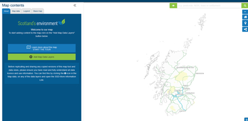
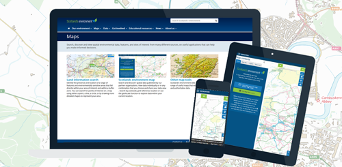
Search and discover spatial data published by our partner organisations. View data individually or in any combination that you choose and share your data view. Search by postcode, grid reference, location or use the geolocate function to explore data within your current location.

About Scotland’s environment map

Scotland's environment map has 229 different web map services available to view.

Search Scotland’s environment map

Search map

Map help

Map Help image

Top 5 viewed map layers

  1. Collection of HabMoS (NatureScot) (including NWSS, Sand dune vegetation, Saltmarsh Survey, NVC Annex 1 & EUNIS, Freshwater)
  2. Groundwater classification (SEPA)
  3. EUNIS Land Cover (NatureScot)
  4. River classification (SEPA)
  5. SPRI Waste water releases (SEPA)

Most recently added / updated layers

Map Layers

  1. FGS SMF Native Woodland (SF)
  2. FGS SMF Public Access Rural (SF)
  3. FGS SMF Species Conservation (SF)

The metadata on many of the map layers has recently been reviewed and improved - map.

Get in touch

  • If you have data to add to our map?
  • Have any questions about how to use the map?
  • Need to report a problem?

Contact us: seweb.administrator@sepa.org.uk